
Lake Township Neighbors by Block Source
Looking up neighbors around a Lake Township address starts with land records. The county map shows the physical block. A parcel profile names the recorded owner and separates a physical address from a tax-mailing contact. A Recorder instrument or plat explains how the lots connect. Township records can answer a defined zoning question. These are useful public sources, but none creates a roster of everyone who lives on a block.
| Source | What it shows about a block | Access |
|---|---|---|
| GIS parcel map | Parcel polygons, adjacency, streets, layers, and selected-parcel geography | County map tools or GIS office |
| Auditor parcel profile | Recorded owner, situs, tax-mailing distinction, legal description, tax and inspection context | Public property portal after its disclaimer |
| Recorder and Tax Map records | Transfers, plats, lot changes, easements, and street or subdivision changes | Recorder index or counter; Tax Map office |
| Lake Township Zoning | Defined certificates, variances, plans, and complaints where public | Zoning counter or focused public-records request |
| Election and community resources | Limited named-person registration information or civic and business context | Individual voter tool, lawful request, or organization directory |
The Stark County Treasurer tax search supports owner, parcel, address number, and address street searches. It complements, rather than replaces, the parcel card. Parcels under contract are excluded from its web result and require an in-person or mail route.
The Treasurer tax search is one starting point for a Lake Township neighbors inquiry based on an address.
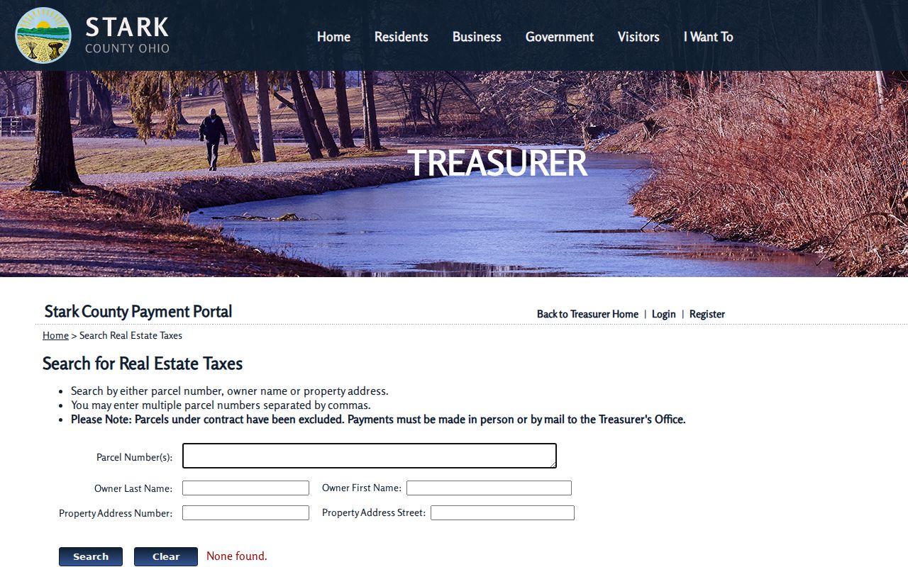
Use a returned owner name as a recorded tax-roll lead, then check the parcel profile and actual recorded document before drawing a conclusion.
Lake Township Neighbors Myth: Owner or Occupant
Myth: a mapped parcel owner is a list of your Lake Township neighbors. Ownership and occupancy are different facts. The parcel card's situs address is the property's physical location. Its Tax Mailing Name and Address block tells the county where tax notices go. A mailing contact can be a post-office box, trustee, agent, or an address outside the area. A recorded owner may not live on the parcel, and a person who lives there may have no searchable ownership record. Describe the result precisely as a recorded owner or tax-mail contact.
The card also includes parcel and routing numbers, class, land-use code, tax roll, neighborhood, acreage, tax district, legal description, and selected credits or exemptions. Those fields help compare parcels. An owner-occupancy credit or Homestead field is a tax-program indicator, not a complete household list. Private occupancy, household relationships, utility accounts, and delivery information are not block-search fields.
- Situs address
- The parcel's physical location in the county property record.
- Tax mailing address
- The address used for tax delivery. It is a contact clue, not proof of occupancy.
- Plat
- A recorded map that identifies lot, block, subdivision, or boundary information.
- Parcel polygon
- The mapped outline of a parcel, used to see which parcels meet or surround it.
Map Lake Township Neighbor Parcels
The immediate-block method is defined by the county's map tools. It follows parcels, not a social radius. Start with one verified address, then identify only the adjoining parcel polygons. A parcel's recorded owner is one public record result. It is not a statement about every neighbor or household member.
- Find the starting property in the Stark County property system and save its parcel number, situs address, and legal description.
- Open the linked GIS map and use a point, box, or freehand selection to capture the adjoining polygons.
- Use Identify on each selected parcel and inspect its property profile for the recorded owner, mailing field, and legal description.
- Compare adjoining profiles with the Recorder's instrument trail and any plat before deciding how the lots relate.
- Request a specific zoning, permit, or road record only when the address, parcel, and date range are known.
For a full named-street record chain rather than one block, use the Lake Township By Street. That route follows address-keyed county records along the street without turning adjacent-parcel data into an occupancy list.
Note: A parcel that touches at a corner or shares a boundary may be a map neighbor without sharing a household or community relationship.
Lake Township Neighbor GIS Tools
Stark County GIS maintains parcel, street, and address base layers for county cities, villages, and townships. Its property-map guidance describes zoom and pan, point, box, and freehand selection, Identify, Measure, and Map Contents. Map Contents exposes layers. Measure supports area, distance, or point analysis. Search, Select, Feature Summary, Query, Draw, Print, Layer List, Pictometry, and Mailing Label functions are also named in county materials.
The last function is a parcel-mapping feature, not permission to compile or contact a block. GIS is especially useful when an old address does not fit a modern parcel. It can show a street line, a lot shape, or a boundary relationship that an owner-name search cannot. For a map that needs a legal explanation, preserve the parcel number and use the Recorder or Tax Map source that created the underlying record.
Lake Township Neighbor Plats and Decisions
The Stark County Tax Map Department is the right route for plats, surveys, splits, combinations, replats, annexations, street dedications or vacations, condominium declarations, and highway plans. The Stark County Recorder carries the recorded instrument trail. Together, those sources can explain why adjacent lots have a shared easement, a changed lot line, or an older legal description.
Lake Township Zoning has a different role. No public all-address permit search was located. A focused request should identify the property location, parcel or lot information, approximate date, and record sought. Its Zoning Certificate Application uses property location, allotment or lot and parcel numbers, owner or agent details, proposed use, dimensions, setbacks, plans, and administrator action. That is public land-use context where the particular record is available, not a neighbors list.
Note: A map label or parcel boundary gives geographic context, but the associated property record remains the source for ownership details.
Lake Township Voter Lookup Boundary
Ohio's voter tool is designed for an individual. It requires first name, last name, and county. Street Name is an optional narrowing selector after a person search, not a browse-all-names-on-a-block option. Public registration material has statutory limits, and protected fields, confidential registrations, and eligible protected-worker information remain confidential. Voting history shows participation, never ballot choices.
The Stark County Board of Elections is the local channel for a named lookup issue, precinct question, or focused request. Under Ohio law, registration lists can be inspected, but copying may be limited around an election if it would interfere with election duties. Ask whether an existing contemporary record or specified precinct or address-range extract can be inspected, rather than asking staff to create a new block directory.
The Board of Elections provides the official local route for Lake Township voter questions.
A missing voter result may reflect an incorrect name, a changed address, a statutory protection, or a search limit. It should never be used as a conclusion about a household.
Lake Township Neighbor Community Context
No authoritative Lake Township association, HOA, block-watch, or congregation membership directory was found. That absence matters. Congress Lake, Lake Cable, and Willowdale appear in the county house-numbering procedure only because an address assignment needs a subdivision-administrator letter. It does not establish a public resident list, association roster, or contact database for those named subdivisions.
| Resource | Available public use | Limit |
|---|---|---|
| Lake Township Chamber | Business name or description, category or type, and distance from ZIP | Civic and business context, not private resident information |
| Lake Township Historical Society | History, photographs, publications, and place context | No house or property-record archive and no membership directory |
| Commercial neighbor products | Category of private compilations | May be stale or mismatched; not a substitute for official records |
The Lake Township Chamber directory is searchable by business name, description, category, and distance from ZIP.
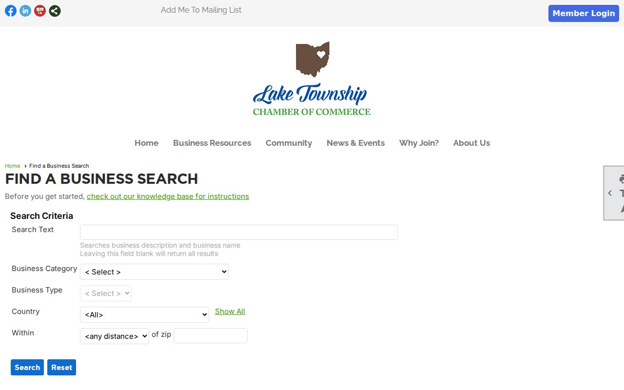
The Chamber, founded in 1988 and described as having more than 200 members, can supply community and business context without standing in for a people-at-addresses directory.
Note: A chamber result is limited to a participating organization and cannot establish who lives in a nearby home.
Lake Township Neighbor Block History
Lake O’Pines offers a useful geographic example of why Lake Township neighbors research should start with a parcel. Historical material describes the area around Lake O’Pines Street, Kent or State Route 43, State Street, and Market Avenue, with long-held properties and some 1850s homes. That background can suggest a place to inspect, but an individual parcel still needs confirmation through the Auditor card, GIS, Tax Map, and Recorder.
Use historical context to ask a narrower records question. A property may have a long local narrative but a different modern address, lot number, or boundary. The same caution applies to an incident record. The Stark County Sheriff incident and accident request route asks for defined information such as date and location; it is not a neighborhood monitoring tool.
The Sheriff request page shows the defined-record approach for a Lake Township neighbors question.
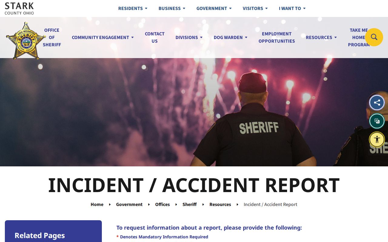
Supply the requested date and location, and do not use a record request to seek a general list of people in an area.
Lake Township Neighbor Privacy Limits
Private occupancy, household relationships, utility and delivery data, motor-vehicle information, protected voter records, Safe at Home participant information, protected-worker addresses, and sealed or confidential court material do not become public because a nearby parcel is mapped. Safe at Home Ohio can protect address connections in government records. Federal DPPA limits motor-vehicle personal information. Keep protected information out of notes and requests.
If a public office's online record exposes qualifying protected personal information, the correction route is with that custodian. Ohio Revised Code R.C. 149.43 supports requests for existing public records but does not require a new neighbor report or disclosure of exempt information. Request a known record with the parcel, document, case, address, and date details that identify it.
Lawful use. Use public Lake Township records for lawful property, history, civic, or personal research. Never use a map, address, or record to stalk, harass, intimidate, or target another person.