
Lake Township Previous Residents by Era
One Lake Township address can leave very different evidence in each period. Recorded land records begin in 1809, while Lake Township became independent from its Plain and Green context in 1816. The current Recorder instructions separate 1982-present research from the 1809-1981 archive. For household questions, library indexes, census schedules, and period directories add evidence that deeds cannot supply. The table is a route map, not a guarantee that every name, image, or street number is online.
| Address-trail source | Years it covers | Where held | What it can show |
|---|---|---|---|
| Recorded land records | 1809 onward | Stark County Recorder | Deed chain, grantor/grantee, legal description, plats, and encumbrances |
| Lake Township / predecessor context | From 1816 | Township and county history; Tax Map and Recorder | Why an earlier tract can be described under Plain or Green-era context |
| Tax indexes | 1810-1825, 1826-1829, and 1830 | Stark Library Index Files | Early taxpayer or name lead, not continuous occupancy |
| Lake Township poll books | 1858; 1874-1876 | Stark Library Index Files | Named voting-record lead for those particular years |
| Canton directory archive | 1859-1930, with gaps | Stark Library Community History Archive | Regional address, household, or occupation clue, not a full township list |
| Federal census | Released schedules through 1950 | National Archives and library databases | Household composition at ten-year intervals |
Start with the period of the question. A modern street address first needs a parcel and deed trail. A nineteenth-century name may start with a tax index, poll book, marriage index, will index, or 1875 atlas before it can be connected to a present-day parcel. Note: “Previous residents” includes several possible roles, so identify whether the source actually documents ownership, an event, or a household listing.
Lake Township Previous Residents Deed Chain
For Lake Township previous residents research, the title trail should run backward by legal description. Start at the Stark County Real Estate Search and copy the parcel ID, current owner, routing and taxing-district information, and every legal-description line. The Auditor’s card is a starting point, not the legal record of title. Use its listed transfer information and legal description to find the recorded deed. In the Recorder chain, a person who received land is the grantee; that deed names the person who conveyed it, the grantor.
- Find the physical address in the property search and save the parcel ID, legal description, and present owner block.
- Search the owner as grantee in the Recorder’s county-linked Kofile index or use the Recorder counter when the web path is unavailable.
- Read the actual deed and copy its date, instrument reference, grantor, grantee, and legal description.
- Search the predecessor grantor as grantee to find that person’s acquisition, then repeat the comparison with the legal description.
- For the 1809-1981 archive path, take the citation and legal description to the Recorder counter rather than forcing a modern street name into the online index.
- Grantor / grantee
- The grantor conveys an interest in the document; the grantee receives it. Their names move a deed search in opposite directions.
- Chain of title
- The linked sequence of recorded transfers for the same land. A name match alone does not establish the chain.
- Legal description
- The lot, block, subdivision, section, or acreage wording that identifies land in deeds. It often survives when street numbering does not.
The Recorder’s official linked record-index destination is the source for this image and the online entry point, with a counter fallback retained for older or inaccessible records.
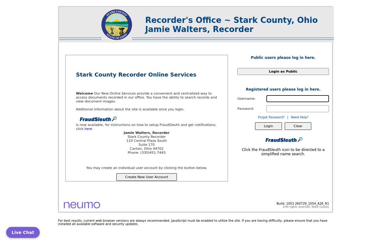
A backward deed chain documents land ownership. It does not, by itself, prove that each owner lived at the Lake Township address.
Lake Township Parcel Records Start
The Auditor parcel card anchors an old address to a current land unit. Its public example displays a parcel number, owner name, physical situs address, routing number, class, land-use code, tax roll, neighborhood, acreage, tax district, legal description, exemption information, inspection history, and links to the tax map and GIS. It also shows a distinct Tax Mailing Name and Address block. That separate block is a delivery contact, not a statement that the owner occupies the property.
A Stark County property-card example illustrates the information available before a deed search. Compare the parcel’s situs, mailing, and legal-description fields, then use the legal description as the durable link to earlier deeds, plats, and maps.
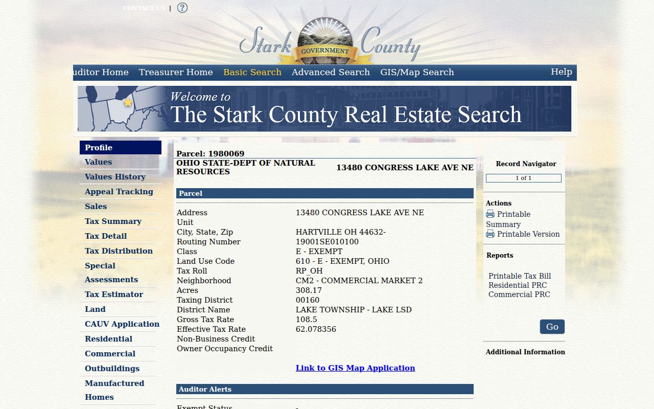
The property-search disclaimer says reference data can be inaccurate or outdated and original recorded documents should be used for legal transactions. That is why the parcel card starts the trail but does not finish it.
Lake Township 1816 Boundary Records
Lake Township became independent in 1816, after earlier Plain and Green context. This is a records-geography issue, not a missing-name problem. A nineteenth-century tax, patent, or deed description may predate the Lake Township label and may identify a section or acreage rather than a numbered street. Modern postal labels can also read Hartville, Uniontown, Greentown, North Canton, or Canton even when the parcel lies in Lake Township.
When the current address fails in an old index, return to the deed’s legal description, a patent or tax section, the 1875 atlas, or a plat. The Stark Tax Map Department handles records tied to splits, combinations, replats, annexations, street dedications and vacations, surveys, and highway plans. That makes it the better county office for an address-continuity question than a general name search.
Lake Township Previous Residents Poll Books
Stark Library’s Index Files hold a named Lake Township Poll Book Index for 1858 and 1874-1876. The same resource offers Stark County tax indexes for 1810-1825, 1826-1829, and 1830. These are unusually specific routes for previous residents research because they point to Lake Township names in defined years rather than suggesting a generic historical directory. Find the indexed name, preserve its volume or page information, and ask the library for the original, digital file, or hard copy.
A tax or poll-book entry is a period lead. It should be matched with the original record, historical map context, and the nearest released federal census. The library also lists a Stark County Will Index for 1809-1890, an 1875 county atlas and atlas-history index, naturalization material, military indexes, and local histories including A History of Hartville. These sources can place an individual in a time and place before a modern parcel is mapped forward.
Note: The poll-book dates are limited to the indexed years; do not treat them as a continuous Lake Township voter list.
Lake Township Historic Maps and Aerials
Historic maps and aerials test whether the land, lot pattern, road, or building remained continuous while names and addresses changed. Stark GIS lists maps from the 1940s through 1997 and aerial photography for 1934, 1942, 1950, 1958, 1965, 1972, 1975, 1980, 1985, 1991, and 1997. Compare a map or aerial date with the deed chain and the legal description, rather than treating a visible building as proof of a particular household.
The Stark GIS data-availability page identifies the historic-map, aerial, and survey paths used for this image.
Use the older geography to explain a change, then confirm the legal land identity through the Recorder or Tax Map materials. This is especially useful when a current road name is absent from a period document.
Past Residents in Canton Directories
Stark Library’s Community History Archive includes Canton city-directory material from 1859 through 1930, with gaps. It may supply a regional address, household, or occupation clue for someone connected with Lake Township. It is not a verified Lake Township directory, and the available official research did not confirm a Lake Township city-directory publisher, a full year run, or a reverse-address shelf. Do not invent a publisher, a Haines coverage period, or a township-wide listing from the Canton archive.
Lake Township was a collection of Hartville, Uniontown, Greentown, Cairo, Aultman, and rural territory, not one incorporated city. Ask Stark Library Family & Local History staff to identify a particular held volume before using it for an address. If a directory entry is found, read it as a point-in-time listing and pair it with a census schedule or a more direct record. The Lake Township City Directories focuses on the historical collection routes and their limits.
Lake Township Previous Residents Probate Trails
Probate material can close gaps between a recorded owner and a family or heir trail. Stark County Probate Court keeps estate case files since 1810 on microfilm. In 1988, many older series moved to the University of Akron Archival Services and Stark County District Library because of storage issues. Stark Library’s holdings include a marriage index from 1809-1972, marriage records from 1809-1916, a will index from 1811-1942, wills into the 1980s, naturalization material, administration and guardianship indexes, and estate-related records.
The Probate records inventory explains the court, library, and archival paths represented in this image.
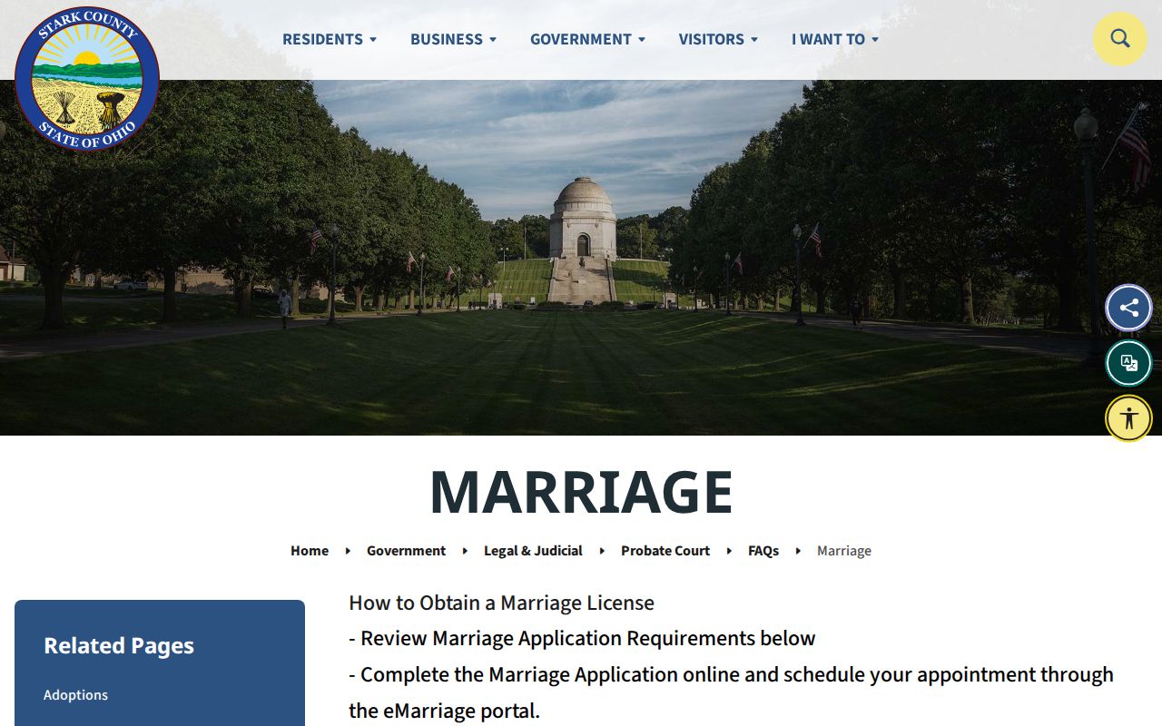
A marriage index can lead to a volume and page rather than a street address. The Probate marriage-record instructions are the source for the related image and explain the court’s certified-copy route.
Use a will, estate, or marriage record to establish an event or relationship, then compare it with the land trail. It is not automatic evidence that the named person lived at one particular property.
Pair Lake Township Past Residents With Census
Owners and occupants are separate questions. Once the legal land chain is stable, use historical household sources to test who lived there before. Pair a period listing or poll-book name with the nearest released federal census. Library genealogy resources include in-library Ancestry Library Edition, newspapers, census information, Stark Memory, HeritageQuest, Fold3, MyHeritage, Heritage Hub, and Black Life in America. Each source has its own date and indexing limits.
- Choose the dated household lead, such as a poll-book entry, a period directory clue, or an estate reference.
- Locate the closest census year and compare names, ages, relationships, and place information with the historical land description.
- Use an atlas, aerial, plat, or Recorder legal description to bridge the old location to the Lake Township parcel.
- Keep ownership and occupancy findings in separate notes, especially where a deed holder may have lived elsewhere.
This avoids a common error: turning a tax name, an owner name, or a regional directory mention into a statement about the full household. Note: Census schedules are released through 1950 as of the research date and should be read within their own enumeration context.
Lake Township Historical Society Context
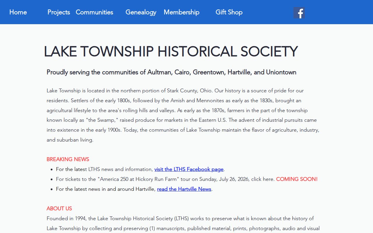
Lake Township Historical Society is a useful context source for place names, local histories, and school materials. It does not archive house or property records. Its property-information guidance instead directs researchers to the Recorder, Auditor or Tax Map, and Stark Library. That division of labor preserves a strong house-history method: use the society for local narrative and the named government or library repository for a record claim.
The Lake Township Historical Society is the source for this image and offers local holdings context.
The society’s local books can help recognize an old community reference, but the Recorder, Tax Map office, and Stark Library remain the verification paths for property and archival records.
Lake Township Previous Residents Limits
Previous residents research is best used for house history, family history, estate questions, and personal curiosity. A property owner, tax-mail contact, poll-book name, and census household may each be different people. Private utility accounts, motor-vehicle addresses, protected voter information, and Safe at Home participant details are not open substitutes for the historical record trail. Respect source gaps, and do not turn a period listing into a current location claim.
Lawful use. Use Lake Township historical records for personal and archival research. Do not use a name or address trail to stalk, harass, intimidate, or harm anyone, and never try to uncover a protected address.
When a source conflicts with a recorded document, preserve both citations and ask the named custodian for the original or microfilm record. The best answer identifies what the record actually proves and what remains unknown.