
Lake Township Street Addresses, Step by Step
For a Lake Township street question, start with the exact physical address in the Stark County Real Estate Search. The Auditor parcel card supplies the parcel number, legal-description lines, owner block, and separate tax-mailing block. Save all of them. The property card itself says its data are reference material, so the legal evidence of a transfer comes from the recorded instrument rather than the card. That sequence avoids treating a mail contact as proof of residence or a current street number as the only identity of an older tract.
- Search the address and open the Auditor parcel card. Record the parcel ID, situs address, legal description, current listed owner, and tax-mail contact.
- Use the parcel ID and legal description to locate the latest deed in the Stark County Recorder search, then note the grantor, grantee, date, and instrument reference.
- Open the linked GIS or Tax Map view to place the parcel on its street, inspect adjoining lots, and check whether a plat or split helps explain the address.
- For a named-person check, use Ohio My Voter Information with first name, last name, and Stark County. It verifies an individual; it is not a browse-all-names-on-a-street tool.
- When the question concerns a particular project or land-use record, request the defined zoning or building record by address, parcel, and date range.
That path is a practical street-by-street workflow because the parcel number and legal description stay useful even when postal wording is inconsistent. Note: A result should be described as a recorded owner or tax-mail contact unless an independent record supports a stronger conclusion.
Lake Township Property Search Fields
The Stark property system offers Basic, Advanced, and GIS/Map modes after its disclaimer. Its Basic Search accepts all or part of a 10-character parcel ID, and an asterisk can stand in for missing characters. The Treasurer tax form uses separate owner and address fields, which is useful when a common street name or directional suffix produces too many returns. Use the result to reach the parcel card, not to create a roster of people on a Lake Township street.
| Lake Township search field | Input | How it works |
|---|---|---|
| Parcel ID | Text | Basic Search accepts a 10-character ID, all or part of the number, and * wildcard terms. |
| Owner last and first name | Text | Separate Treasurer fields; compare the resulting parcel number with the Auditor card. |
| Address number and street | Text | Enter number and street separately on the Treasurer form; preserve directional information when known. |
| GIS/Map Search | Mode | Opens the parcel map after the property-search disclaimer. |
| Map Select, Identify, Measure | Map tools | Select by point, box, or freehand; identify a parcel; measure area, distance, or a point. |
The Treasurer portal accepts multiple parcel numbers separated by commas. It excludes parcels under contract, so that situation requires an in-person or mail fallback. Note: Do not assume the mailing block on a tax result is the physical address of the listed person.
Lake Township Street Record Coverage
Several offices hold different parts of the record trail. The table separates a parcel-based fact from an address-based clue so a Lake Township street directory search does not overstate what any single source can prove. The Recorder preserves recorded real-estate documents, the Auditor and Treasurer organize current parcel and tax information, and Township Zoning keeps defined land-use files. Their records overlap, but they do not merge into a universal household list.
| Address-keyed record | Custodian | Useful street fact | Access route |
|---|---|---|---|
| Parcel card | Stark County Auditor | Owner, situs, tax-mail contact, parcel ID, legal description, tax district | Property portal after disclaimer, map link, or counter |
| Tax-roll search | Stark County Treasurer | Parcel, owner spelling, address fields, payment and tax context | Free form; contract parcels use in-person or mail handling |
| Deed and plat trail | Stark County Recorder | Grantor, grantee, document references, legal description | Web index when available, Recorder counter, phone, or defined request |
| Parcel map | Stark County GIS | Parcel shape, adjoining lots, streets, layers, and map tools | Basic or Advanced Parcel Viewer, map applications, and GIS office |
| Zoning file | Lake Township Zoning | Certificates, applications, variances, complaints, and maps | Zoning office or Ohio Public Records Act request; no public address portal was located |
Ohio My Voter Information is an additional confirmation channel for a known individual. It requires a first name, last name, and county, with a street-name selector only when narrowing matching person information. The official lookup is therefore different from a street directory: it cannot be used to browse every voter along a road.
Map a Lake Township Street With GIS
Stark County GIS supplies the map layer of the address trail. Search a starting parcel, use the map link, and then select the polygons touching it by point, box, or freehand. Identify returns parcel details, while Map Contents opens available layers and Measure checks distance or area. The map connects a Lake Township street to its parcel geometry. Ownership still belongs in the parcel card and the recorded instrument.
The Stark County Tax Map Department page documents why this method matters when lots have been split, combined, replatted, annexed, dedicated, or vacated. Its files include plats, surveys, easement plats, condominium declarations, and highway plans. Those materials can solve a broken lot or road description that a current street search cannot.
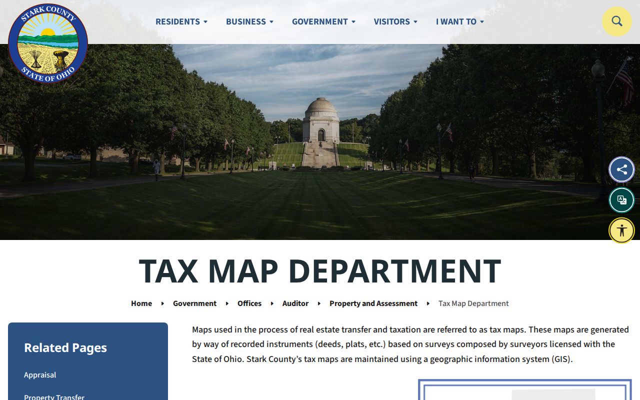
The Tax Map Department is the proper county route for the physical map relationship, while the Recorder resolves the underlying recorded document. Note: A parcel boundary can show land adjacency without identifying who occupies a building.
Lake Township Deed Trail by Address
The Recorder’s official instructions divide research into a 1982-present path and an 1809-1981 archive. Land records begin in 1809, but equal online coverage should not be assumed for every year or image. From a Lake Township address, carry the current parcel card’s legal description into the Recorder index. Find the current owner as grantee, read the predecessor grantor from the deed, then search that predecessor as grantee to move backward through the ownership chain.
The county describes recorded deeds, mortgages, and easements as permanent real-estate records. If the county-linked Kofile search does not return a useful result, preserve the document citation and ask the Recorder counter for the grantor-grantee index or older instrument path. An older deed may name a lot, block, subdivision, or section acreage rather than the modern street address.
The Recorder search instructions distinguish the two research eras and are the source for this image.
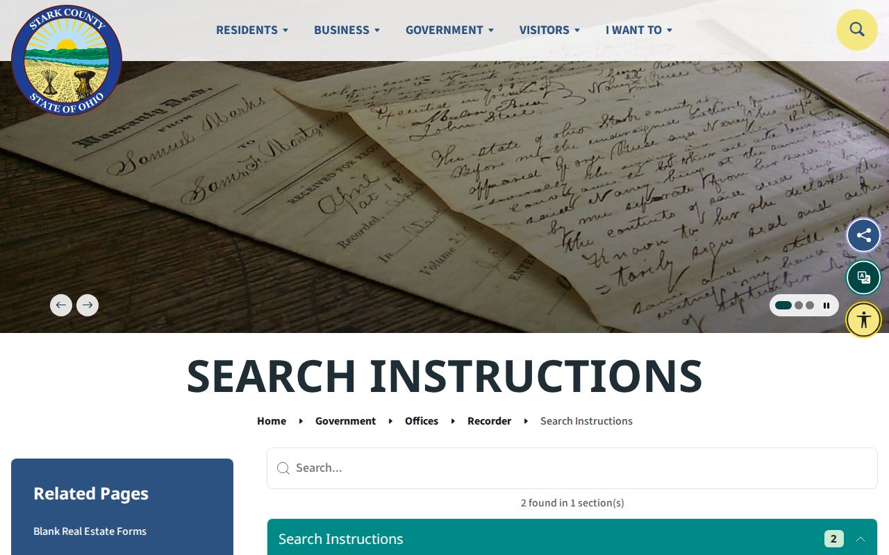
Use the exact legal description from each deed to test that the chain stays tied to the same Lake Township land, especially where an address has changed.
Lake Township Numbering and Geography
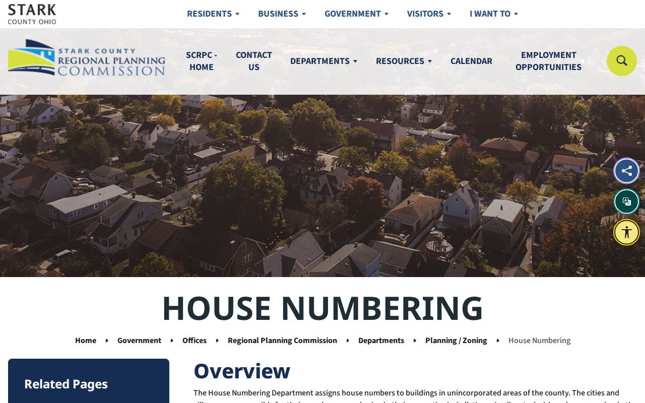
Stark Regional Planning handles official house numbering. Its procedure says a number must be assigned before a new building permit, costs $15 per address, and requires a legal record. An unplatted site needs a map showing the driveway or building placement. The process can also involve sewer or septic coordination, and condominiums must be declared through the Auditor.
Lake Township has a specific subdivision rule: Congress Lake, Lake Cable, and Willowdale applications require a subdivision-administrator letter before address numbering can proceed. This helps explain an address or plat question, but it does not create a public resident list. Postal wording also needs care. Hartville and Uniontown labels can cross local boundaries, and Uniontown postal territory reaches into Summit County. Confirm township, taxing district, and parcel location instead of relying on a mailing city.
The Stark Regional Planning house-numbering procedure is the source for the address-assignment detail shown here.
The Lake Township Road Department maintains 139 miles of township roads, while state and county roads have separate responsibility. The township historical newsletter specifically lists SR 619 and Cleveland Avenue outside the usual township-road role. Name the road segment and date range in a request, then confirm the responsible keeper before asking for an opening, dedication, maintenance, or pavement record. A Lake Township mailing label does not establish road custody. When a route crosses a jurisdictional boundary, retain the parcel and map reference with the request.
Lake Township Zoning Address Files
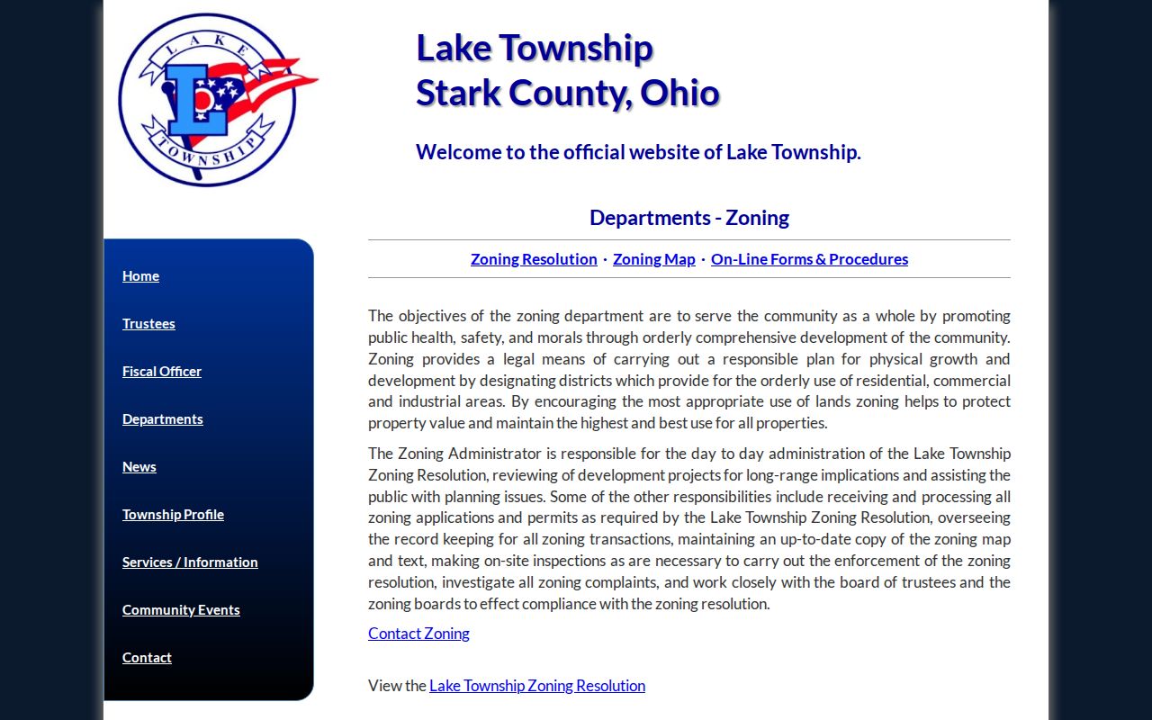
Lake Township Zoning maintains zoning transaction records, the current zoning map and text, applications, permits, inspections, and complaint work. The local route is especially useful when the question is about an address-specific project rather than who lives nearby. Ask for a defined record, such as a zoning certificate, variance file, complaint disposition, Board of Zoning Appeals case, site-plan submission, or a particular permit. Include the street address, parcel when known, and an approximate period.
The certificate form itself uses property location, allotment, lot, section, parcel number, owner and contractor contact fields, proposed use, dimensions, setbacks, plans, septic or sewer details, fee and receipt entries, and zoning-administrator action. No online address-searchable Lake Township permit database was found. Under the Ohio Public Records Act, a precise request can be inspected or copied, but the office need not create a new compilation of all activity at an address.
The Lake Township Zoning page identifies the department’s recordkeeping role and links its forms and procedures.
County Building Inspection can be a second route for regulated construction records, but it does not replace the Township’s zoning determination.
Lake Township Street Research Tip
For a house or property question, the Lake Township Historical Society directs researchers to the Recorder, Auditor or Tax Map Department, and Stark Library rather than treating the society as a property archive. That routing tip keeps a local-history source in its proper role while the county record supplies the evidence.
Address records use several names for the same land. Saving each term prevents a modern street label from hiding an older plat or deed reference. Stark’s parcel card intentionally displays both physical and tax-delivery information, so the distinction is part of the source record, not a guess.
- Parcel
- A county tax-map unit used to identify land in the Auditor, Treasurer, and GIS systems. Its number links related record searches.
- Situs address
- The physical location shown on the parcel card. It is separate from the address where tax notices are mailed.
- Plat
- A recorded map that lays out lots, streets, easements, or a subdivision. It can clarify older lot and road references.
- Criss-cross directory
- A reverse-address style directory that may associate an address with a period listing. Stark Library’s Haines Criss+Cross holding is a possible aid, but no exact Lake Township date run was verified.
For a verified historical listing, ask Stark Library staff for the held volume and its coverage before relying on it. The historical material is discussed further in the Lake Township City Directories.
Lake Township Street Directory Myth
A Lake Township street directory can establish parcel facts, recorded conveyances, and carefully limited named-person confirmation. It cannot show every renter, relative, visitor, or other household member. Private utility and delivery data are not public address fields. Motor-vehicle information is protected by the federal Driver’s Privacy Protection Act, and Ohio Safe at Home participants may use a substitute address in government records. Public voter records also have protected fields and confidentiality rules.
Lawful use. Use Lake Township address records for personal, family-history, property, or civic research. Do not use any result to stalk, harass, intimidate, or harm a person, and do not attempt to defeat a protected address program.
When a parcel card appears wrong, compare it with the Recorder’s original instrument and contact the custodian that maintains the disputed record. Note: A missing public result can reflect a protected record, a source gap, or a change in the parcel trail.